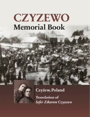
Sefer Zikaron Czyzewo
Published in Tel Aviv 1961 Editors of the original Yizkor Book: Shimon Kanc Project Coordinator: Jennifer L. Mohr Layout: Donni Magid Cover Design: Nina Schwartz, Impulse Graphics Name Indexing: Jonathan Wind Hard Cover, 8.5” by 11”, 618 pages with original photographs.
About This Book
In 1815, the town of Czyzewo belonged to the Kingdom of Poland, then subservient to Russia. From the mid-19th century on, its economy grew, helped by construction of the Warsaw-St. Petersburg rail line. By 1899 the town had 2,300 inhabitants, 94 percent of them were Jewish.
The vibrant Jewish community supported a synagogue, three study houses, a modern cheder, a public school, a girls school, a cultural center, and a volunteer fire brigade. Jews worked mainly as artisans and tradesmen. In addition to the mills, brickyards and lumberyards, there were shoemakers, bakeries, butcher shops, a salt wholesaler, a tobacco wholesaler, a gas station, and a slaughterhouse. One renowned factory made high-quality tsitsit. A Jewish-owned power plant brought electricity to the town in 1929.
In June 1941 the Nazis occupied the town and began a reign of murders and atrocities that lasted until January 1943, when the last Chizever Jews were sent to Auschwitz. Although Jewish Czyzewo was destroyed, it is remembered here in vivid detail.
Place Details
Alternate names: Czyzew-Osada [Pol], Czyzewo [Pol], Chizeva [Yid], Chizhev-Osada [Rus], Czyzew, Chizheva, Chizhevo, Tshizsheve, Tshizheva, Tzizhav
Czyzew-Osada, Poland – The town is located at 52°48' N 22°19' E and 67 miles NE of Warsaw
Nearby Jewish Communities:
Andrzejewo 7 miles WNW
Zareby Koscielne 8 miles WSW
Nur 9 miles S
Jablonka 11 miles N
Wysokie Mazowieckie 12 miles NE
Ciechanowiec 12 miles SE
Wyszonki Koscielne 13 miles E
Zambrow 13 miles NNW
Szumowo 13 miles NW
Malkinia Gorna 15 miles WSW
Sterdyn 15 miles S
Kosow Lacki 15 miles SSW
Prostyn 17 miles SW
Ostrow Mazowiecka 17 miles W
Kosewo 19 miles WNW
Gac 20 miles N
Sokoly 20 miles NE